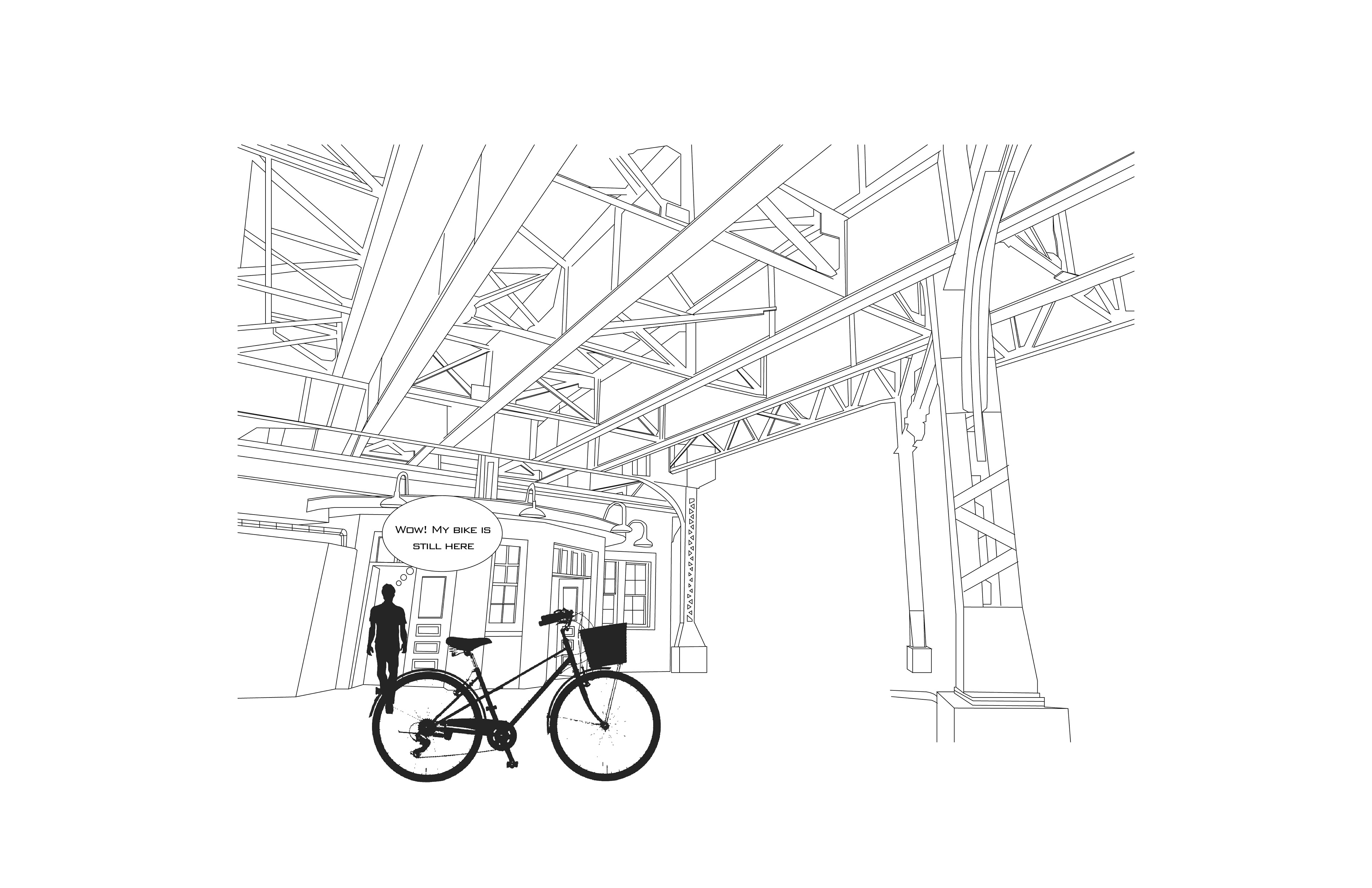
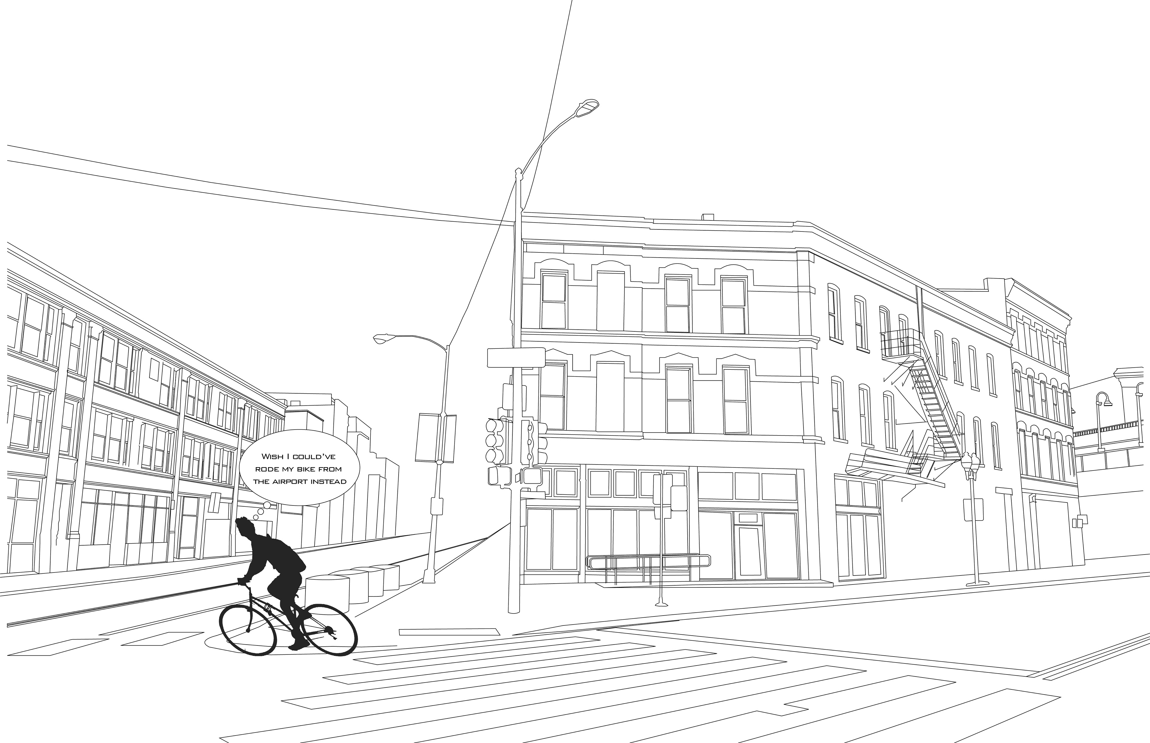
O'hare to Wicker Park Storyboard
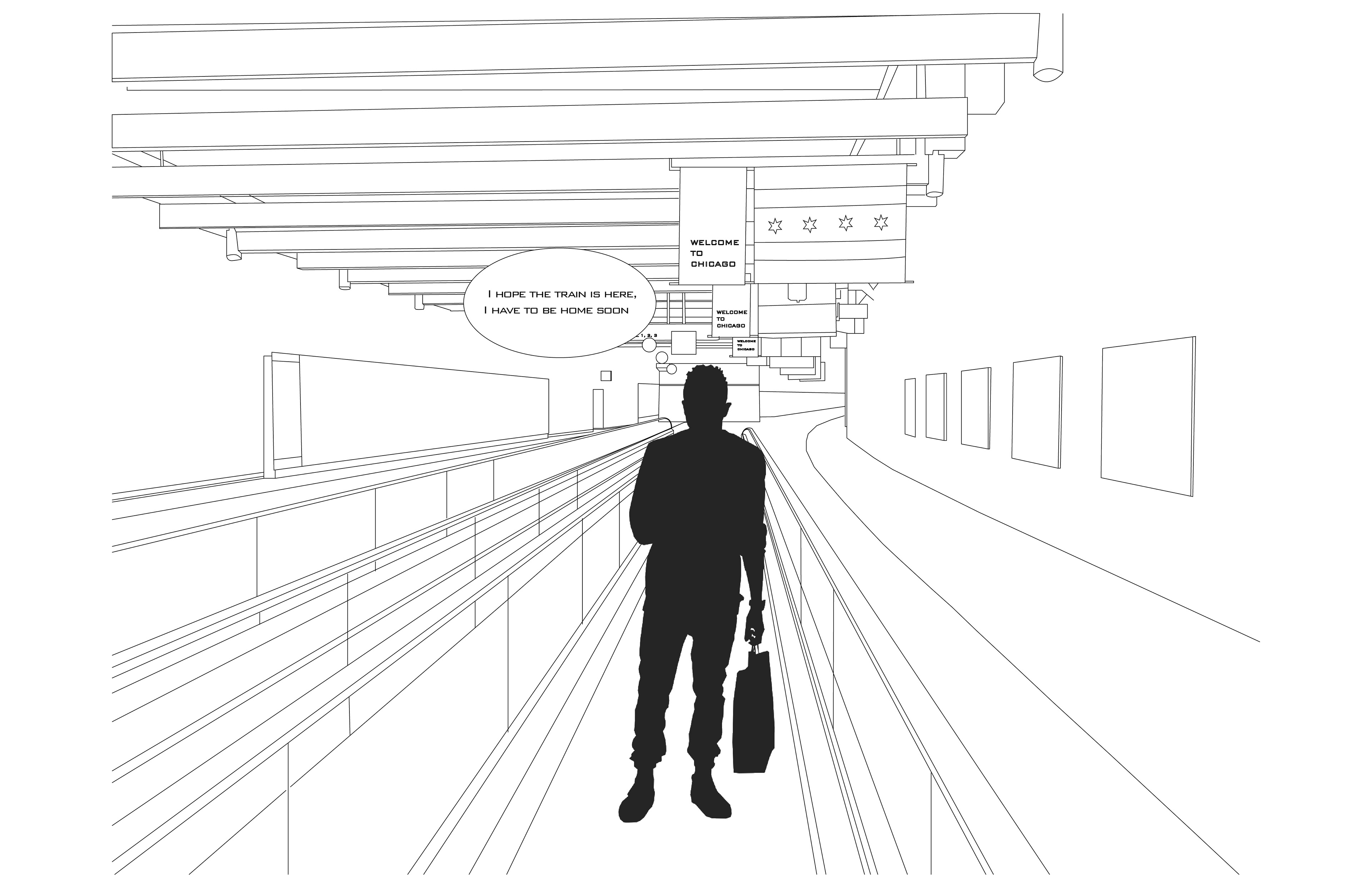
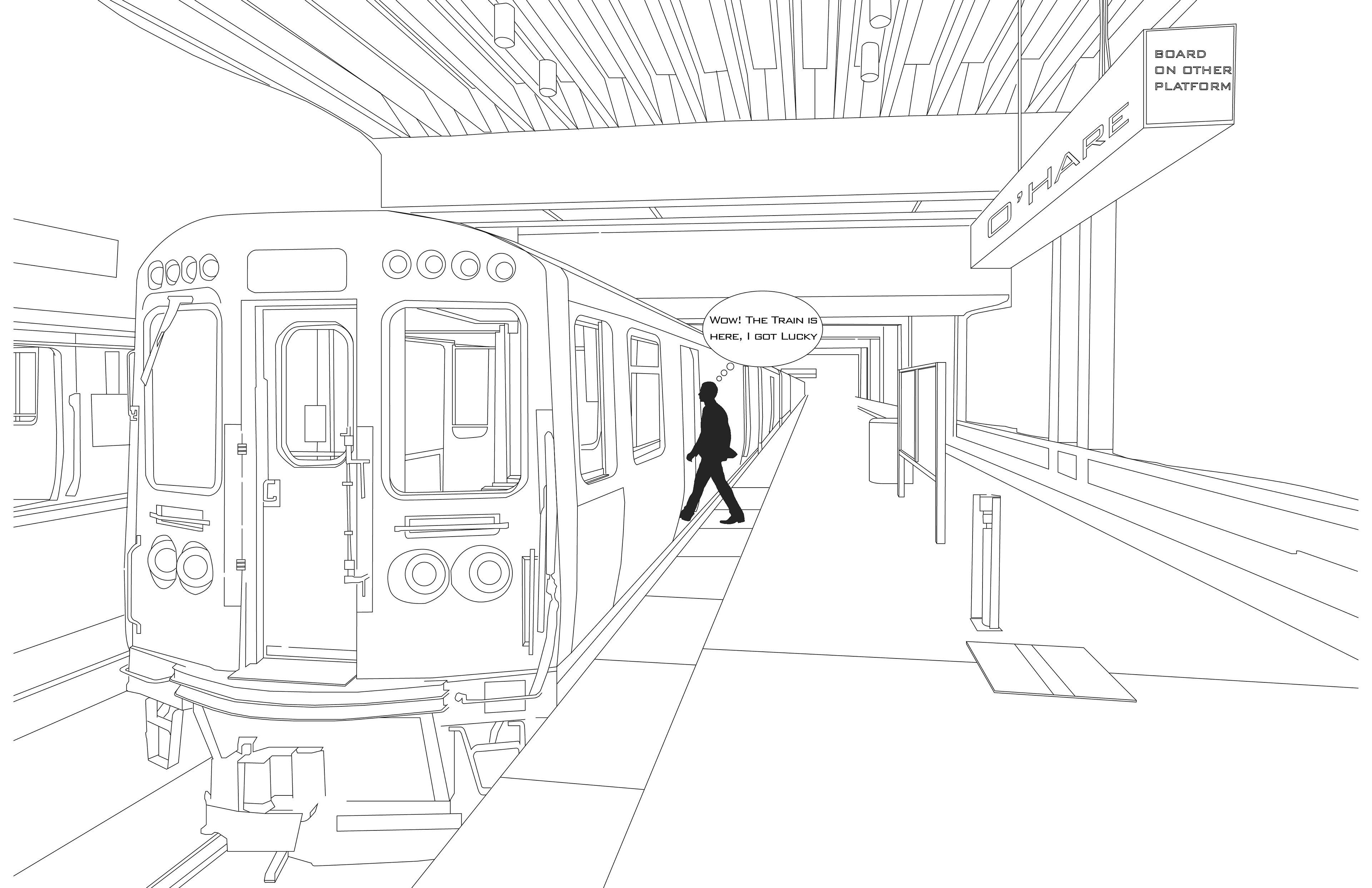
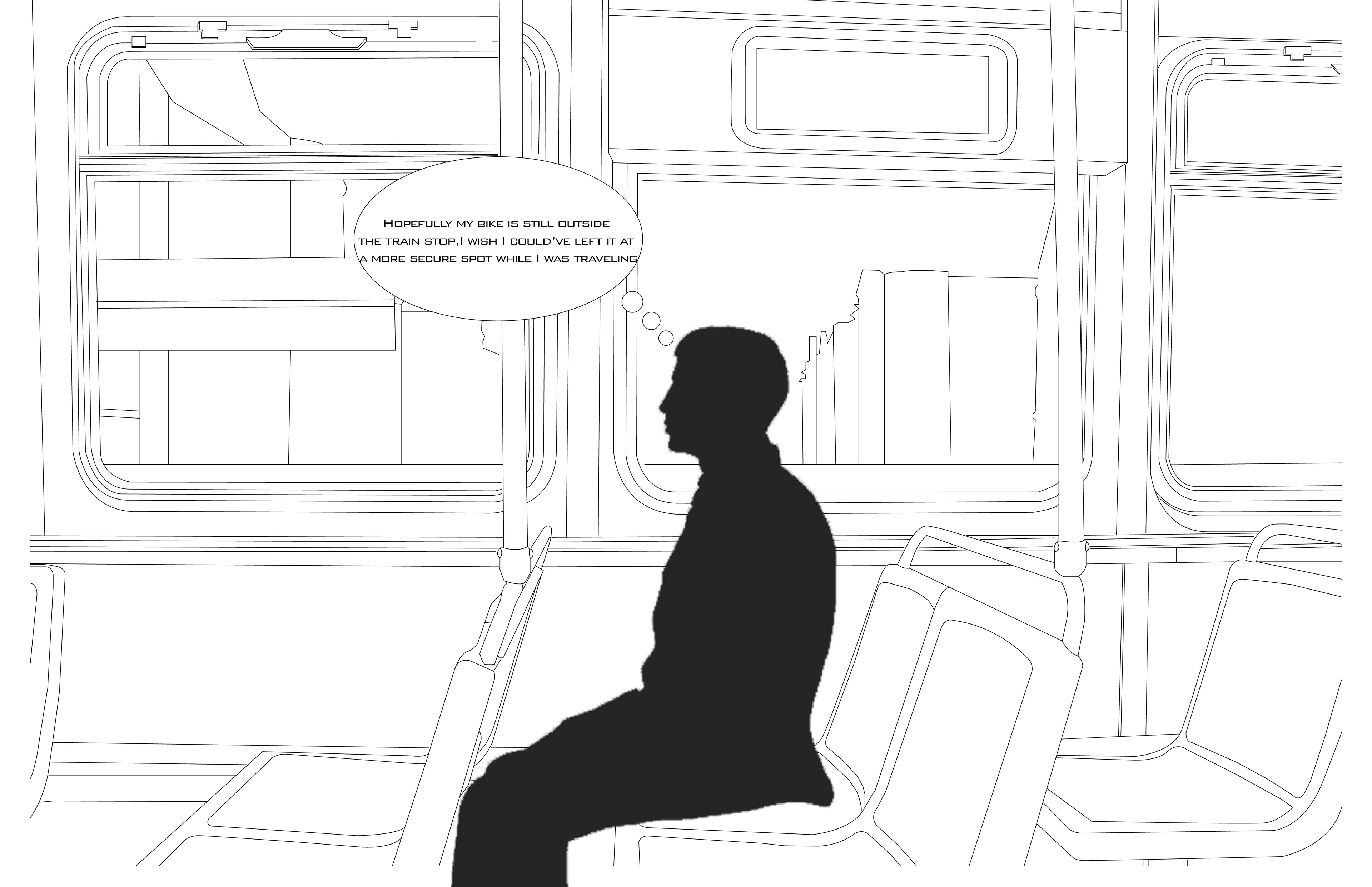
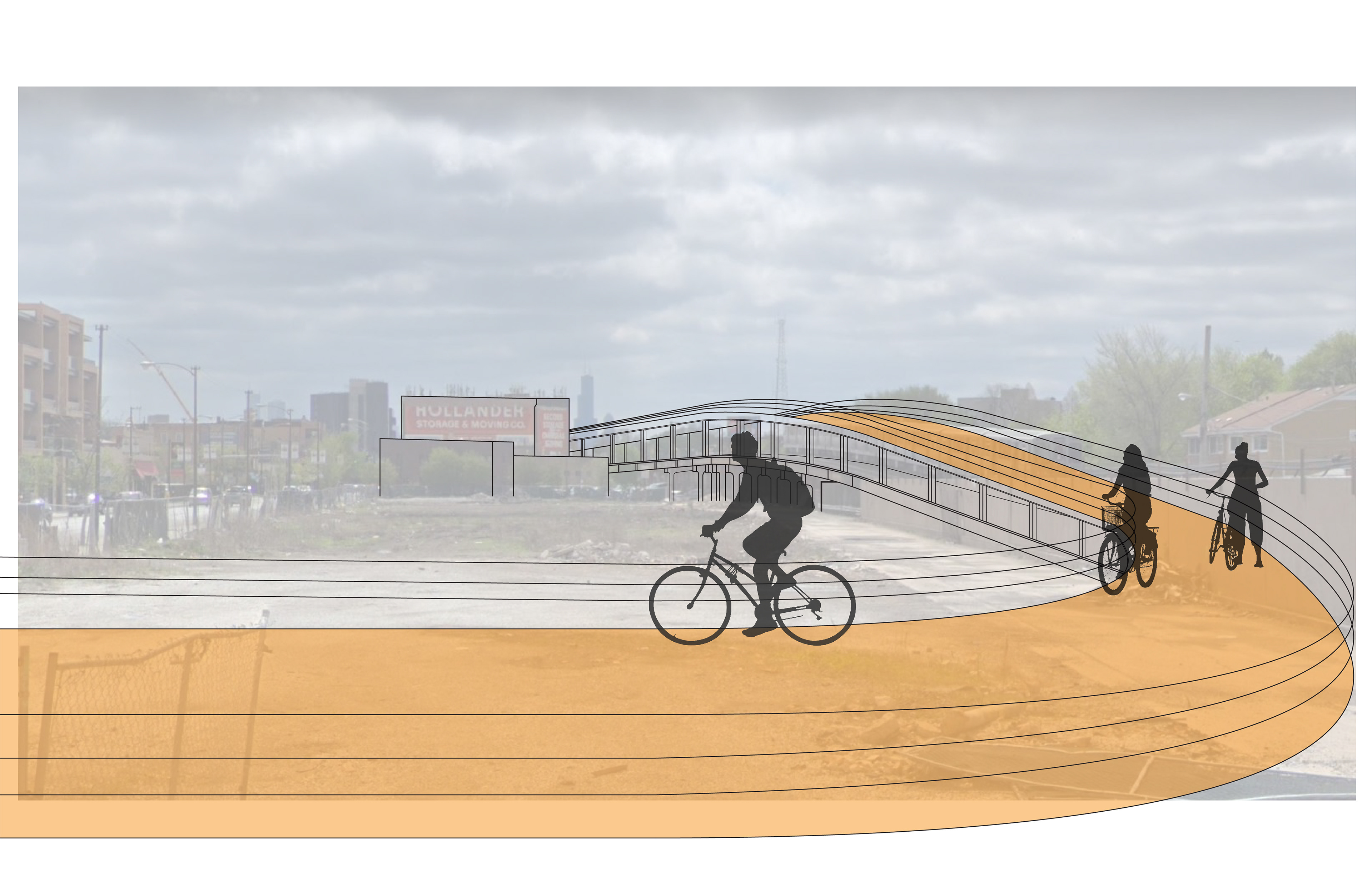
From the perspective of a resident who is traveling back from O'hare International Airport to his home near the Wicker Park community. Highlighting the absence of freedom to safely take his bike to and from the airport efficiently, rather than being forced to currently pay and take the long train ride home.
Global Chicago Transport Deficit
Chicago is a hub for travel and urban innovation, but current infrastructure forces conditions of segregation and underserved communities. Found through the analysis of transportation methods to a central circulation point such as O'Hare International Airport on the Northwest side of Chicago. Through this sequence of diagrams, it is seen that certain areas become more separated from the surrounding area due to the availability of affordable and efficient transportation.
Bike Highway Touchdown Points
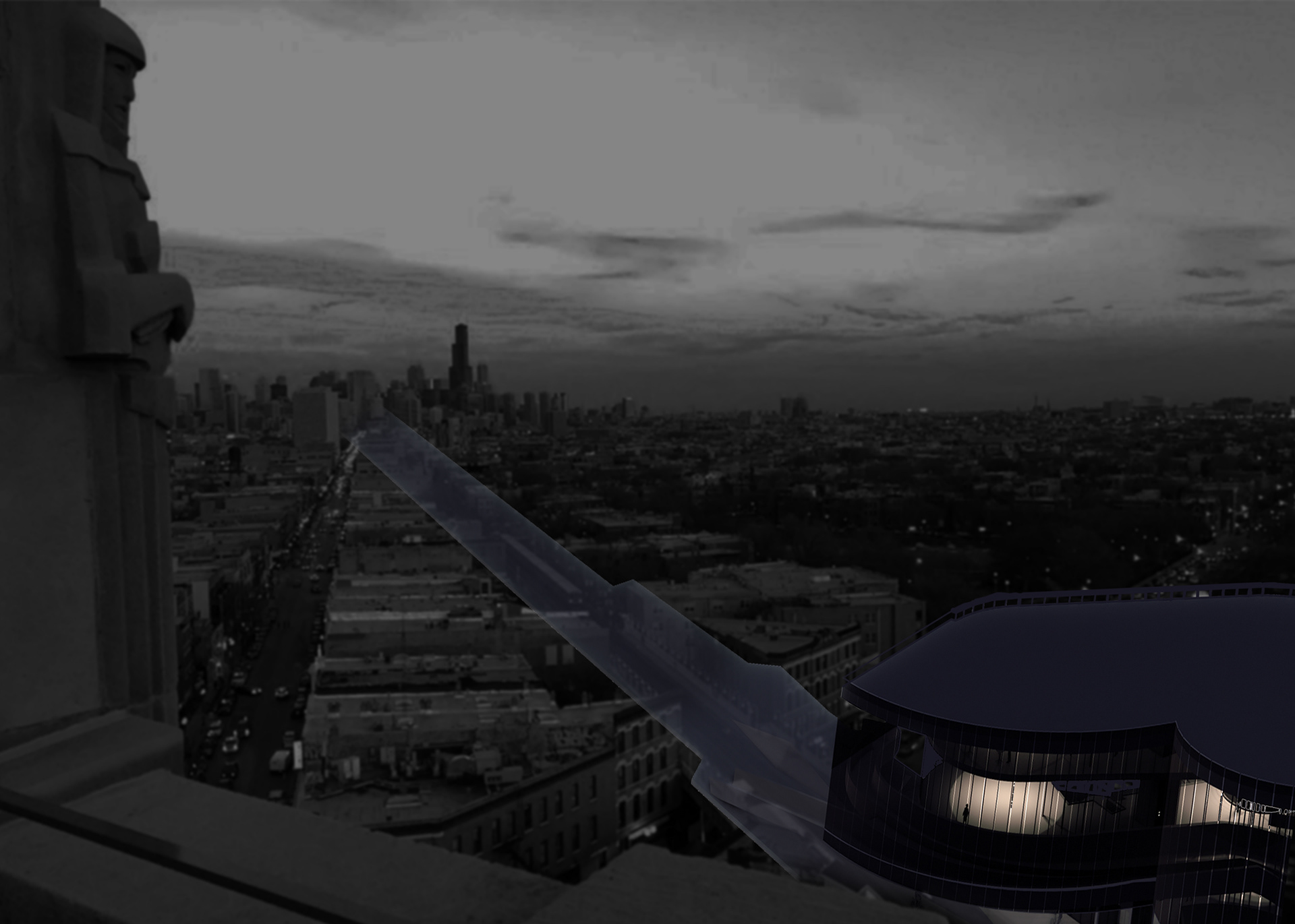
Utilizing existing infrastructure and a proposed elevated bike and pedestrian highway, a series of touchdown points are seamlessly connected throughout Chicago neighborhoods.
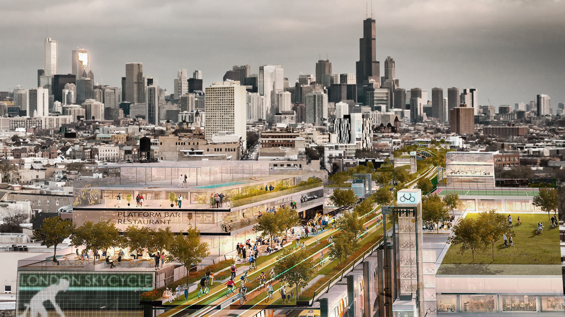
DAMEN BLUE LINE STOP
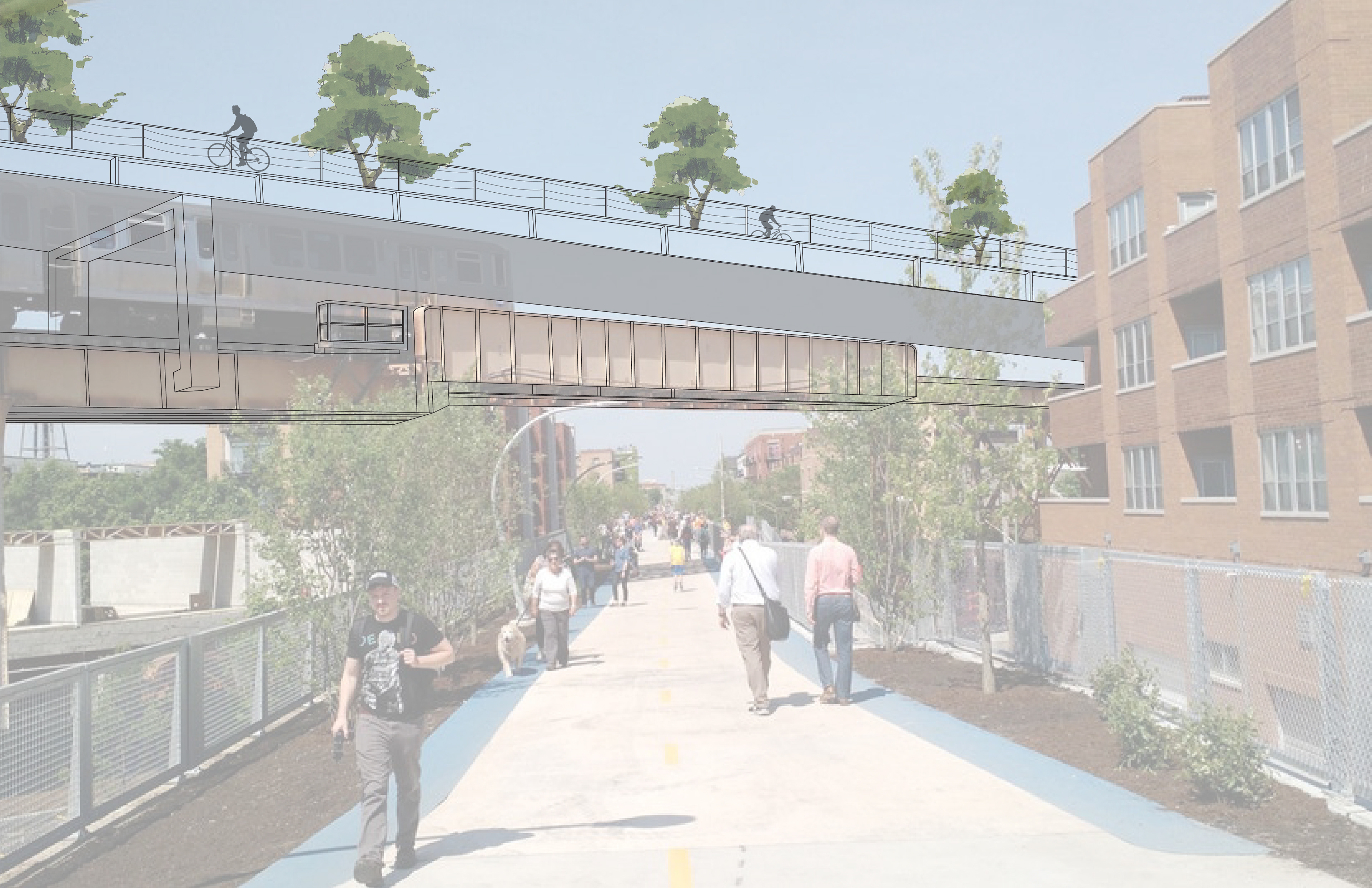
606 TRAIL
CALIFORNIA BLUE LINE STOP
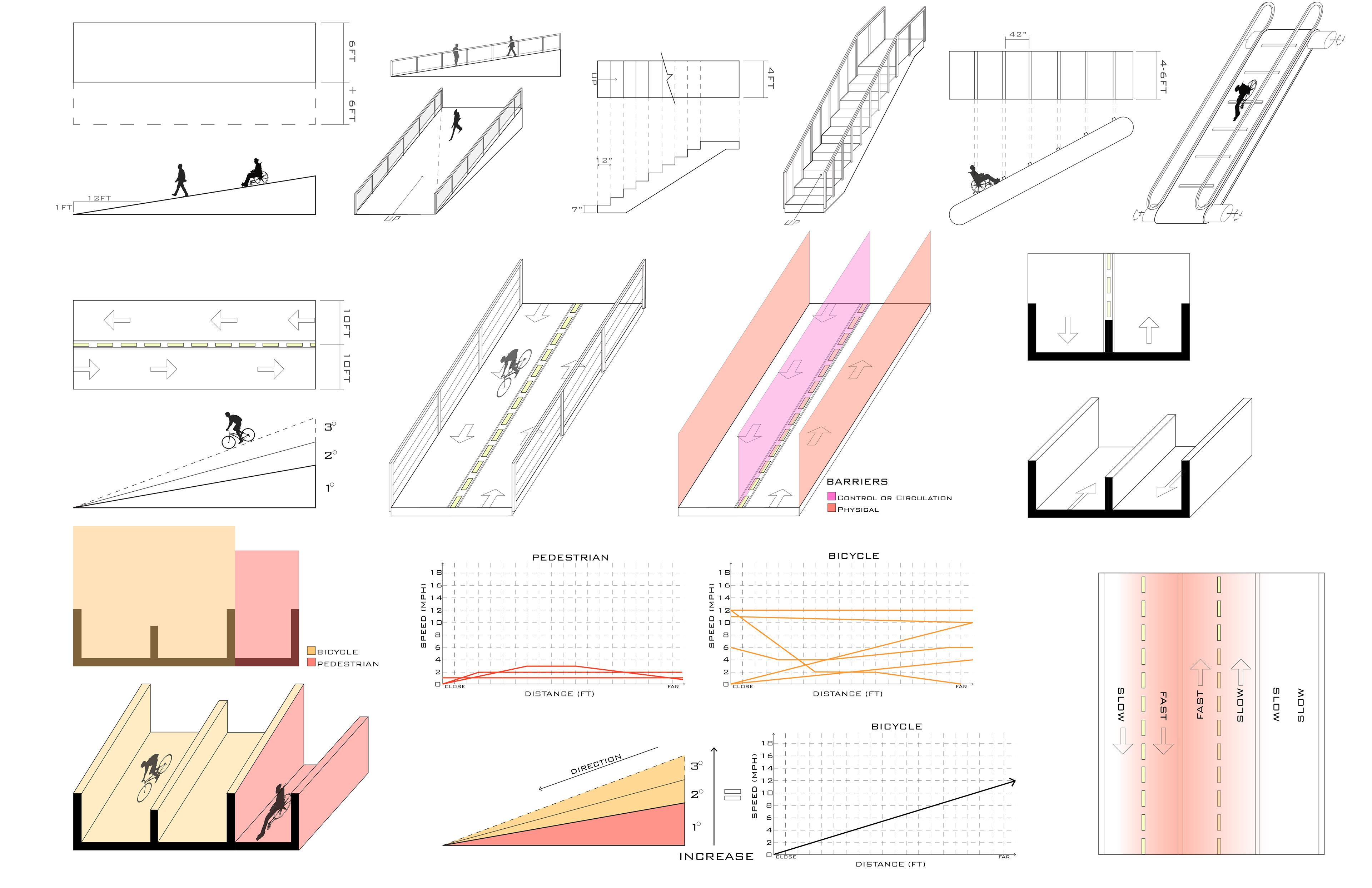
TYPES OF PEDESTRIAN & BIKE INCLINES
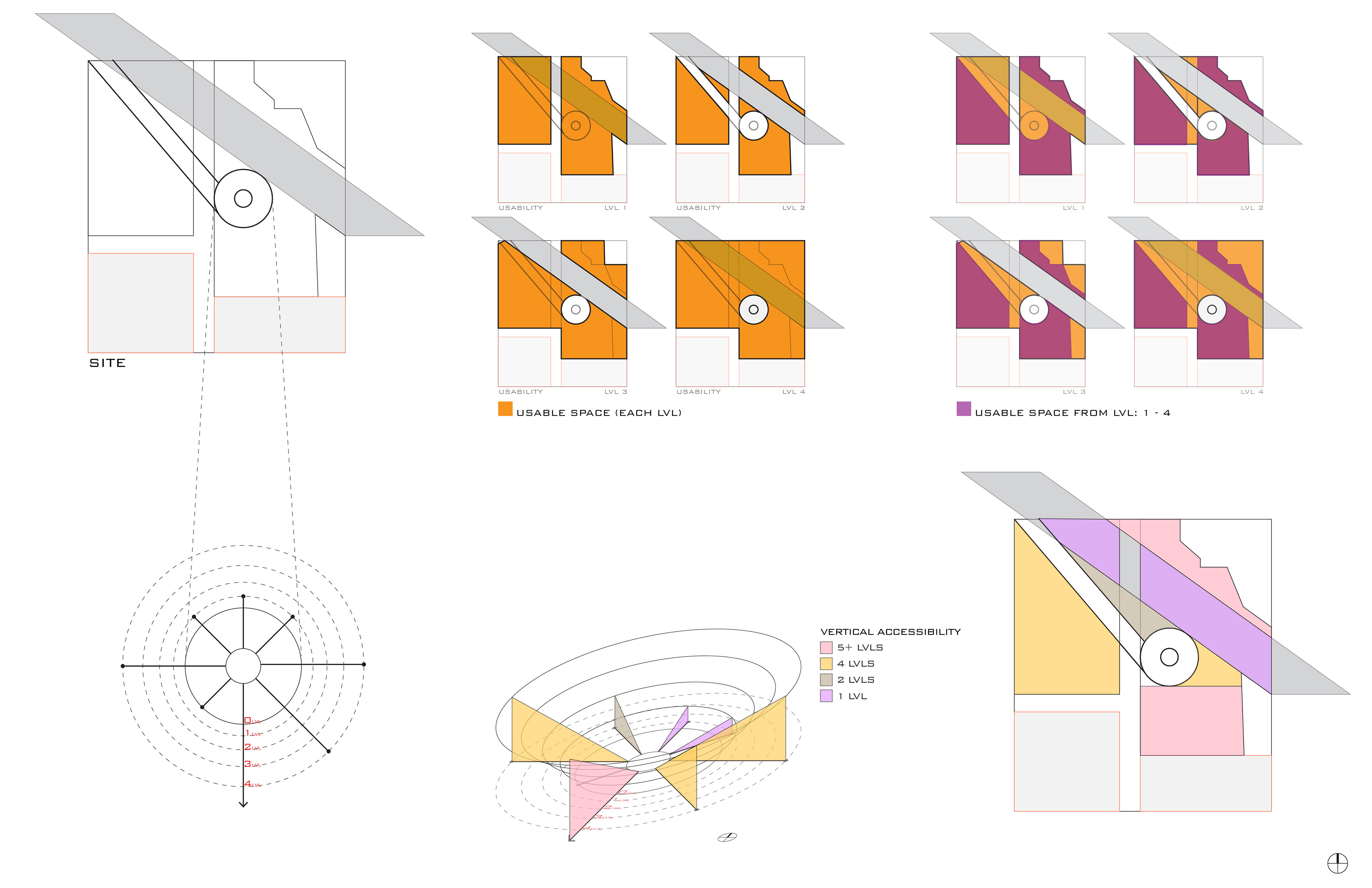
SITE ACCESSIBILITY
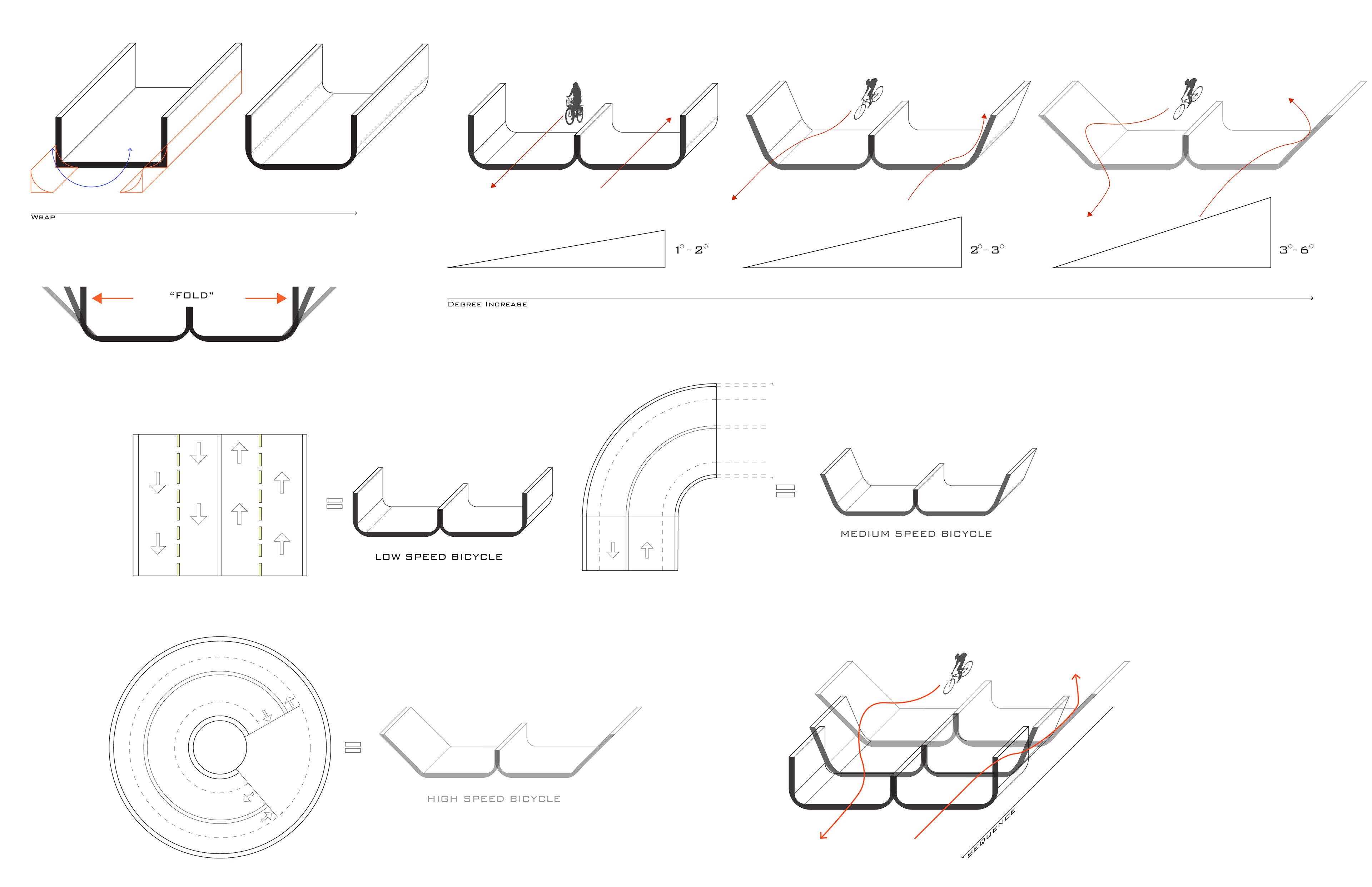
BIKE RAMP BARRIER DESIGN
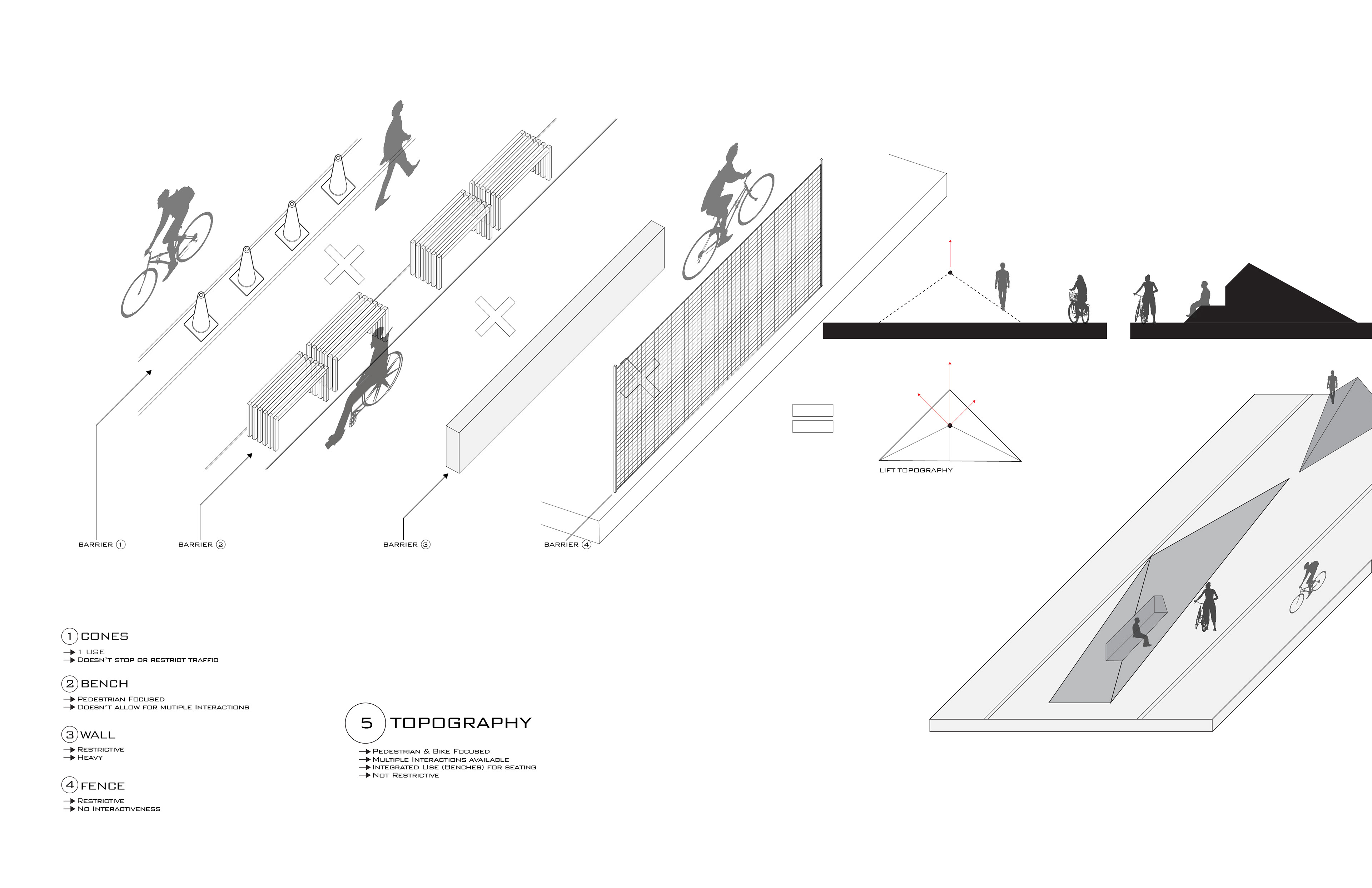
BIKE & PEDESTRIAN PATH BARRIER DESIGNS
Bike & Pedestrian Circulation Study
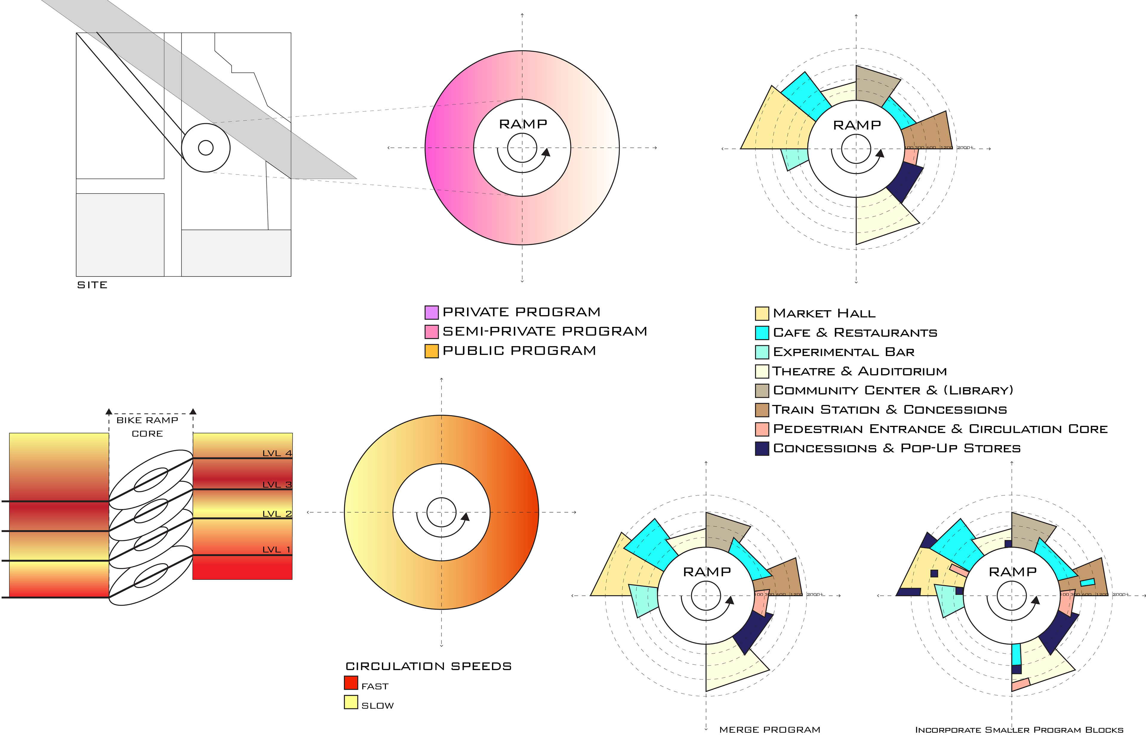
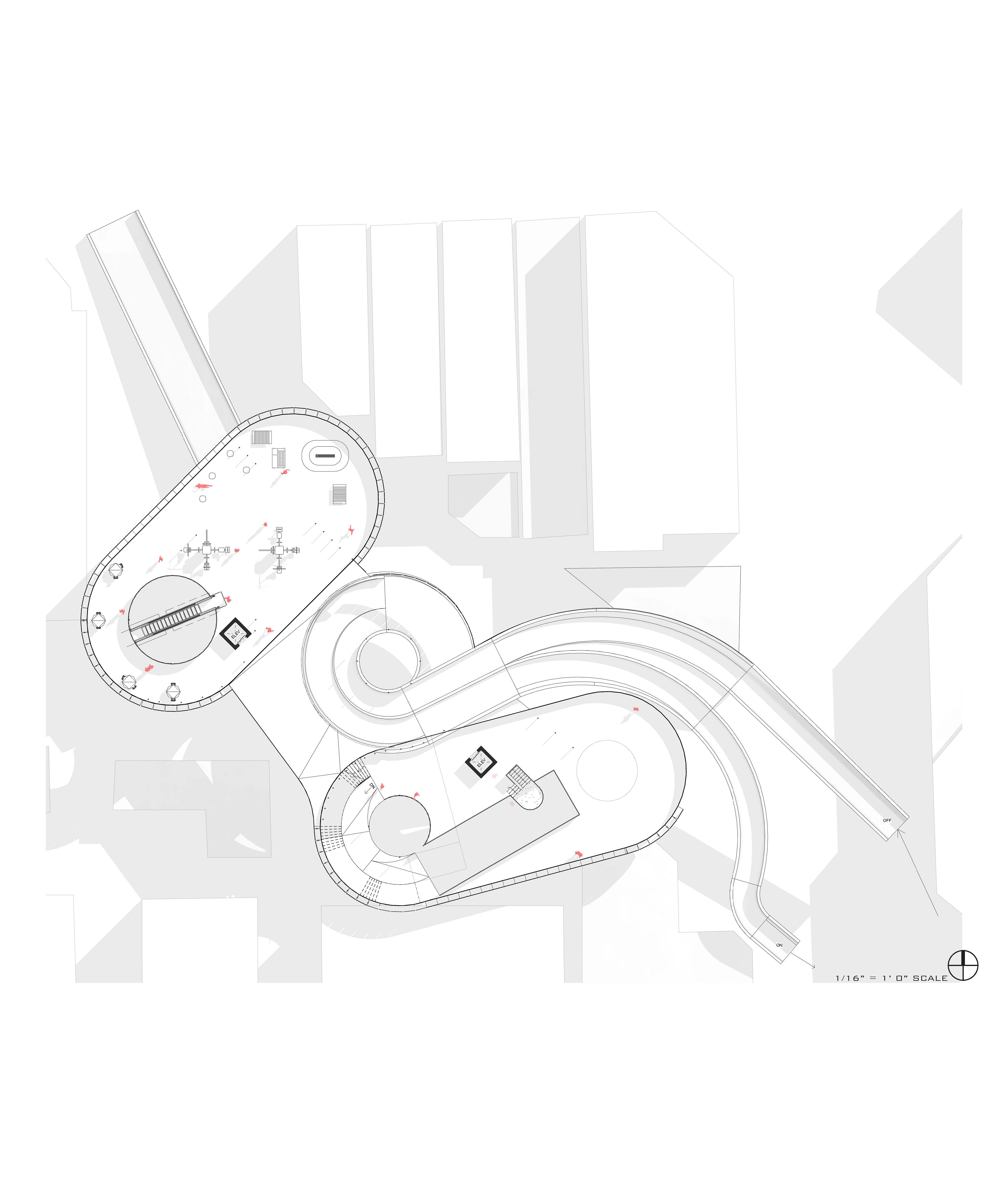
In high pace environments, it is important to separate those who must go fast and those who wish to move slower. Inspired by downhill mountain biking, the separated bike ramps have an adjusted side slope angle based on the speed cyclists will be going at that p. While the pedestrians are protected and given built-in leisure and program spaces that make circulation something more than a dormant path.
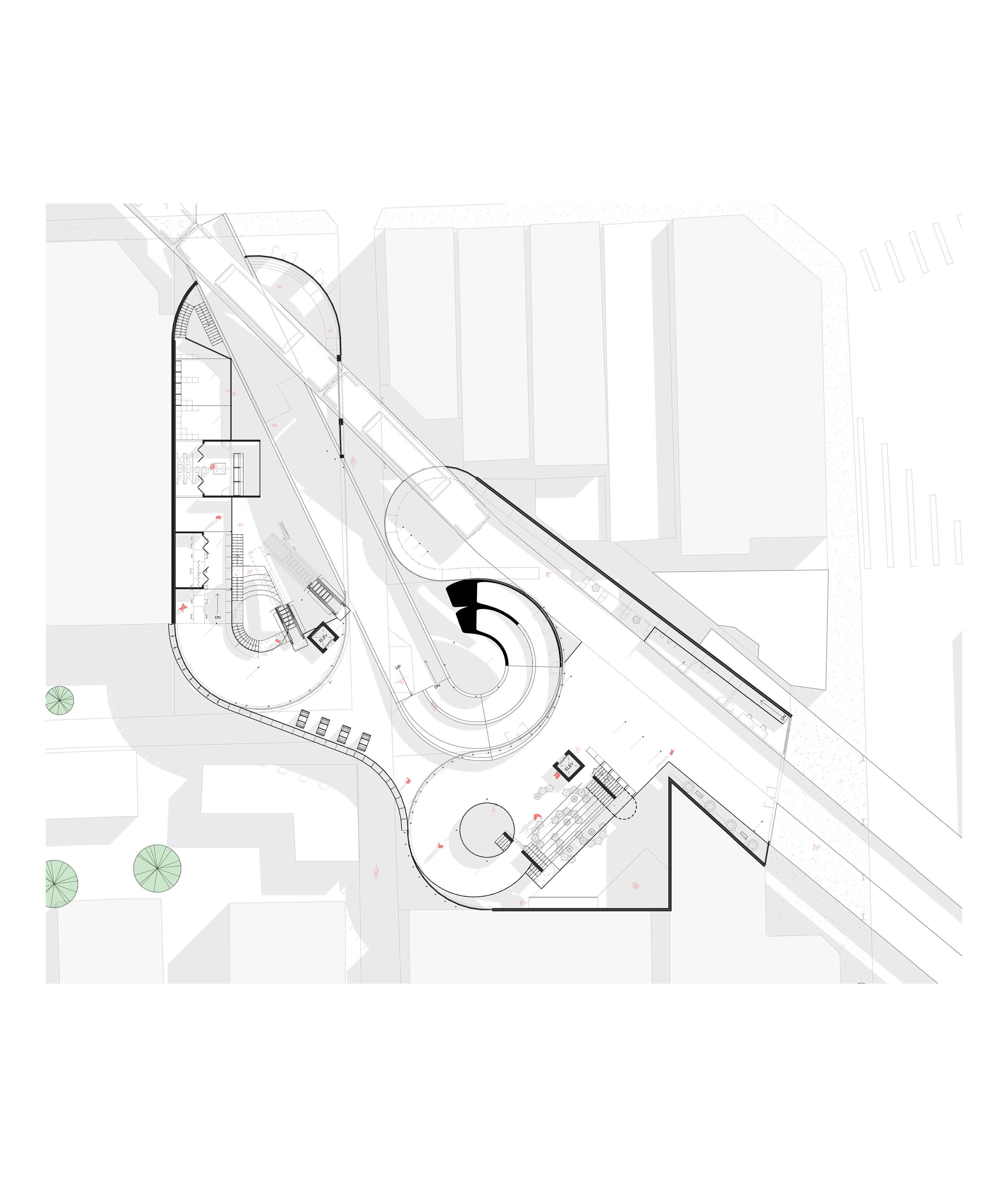
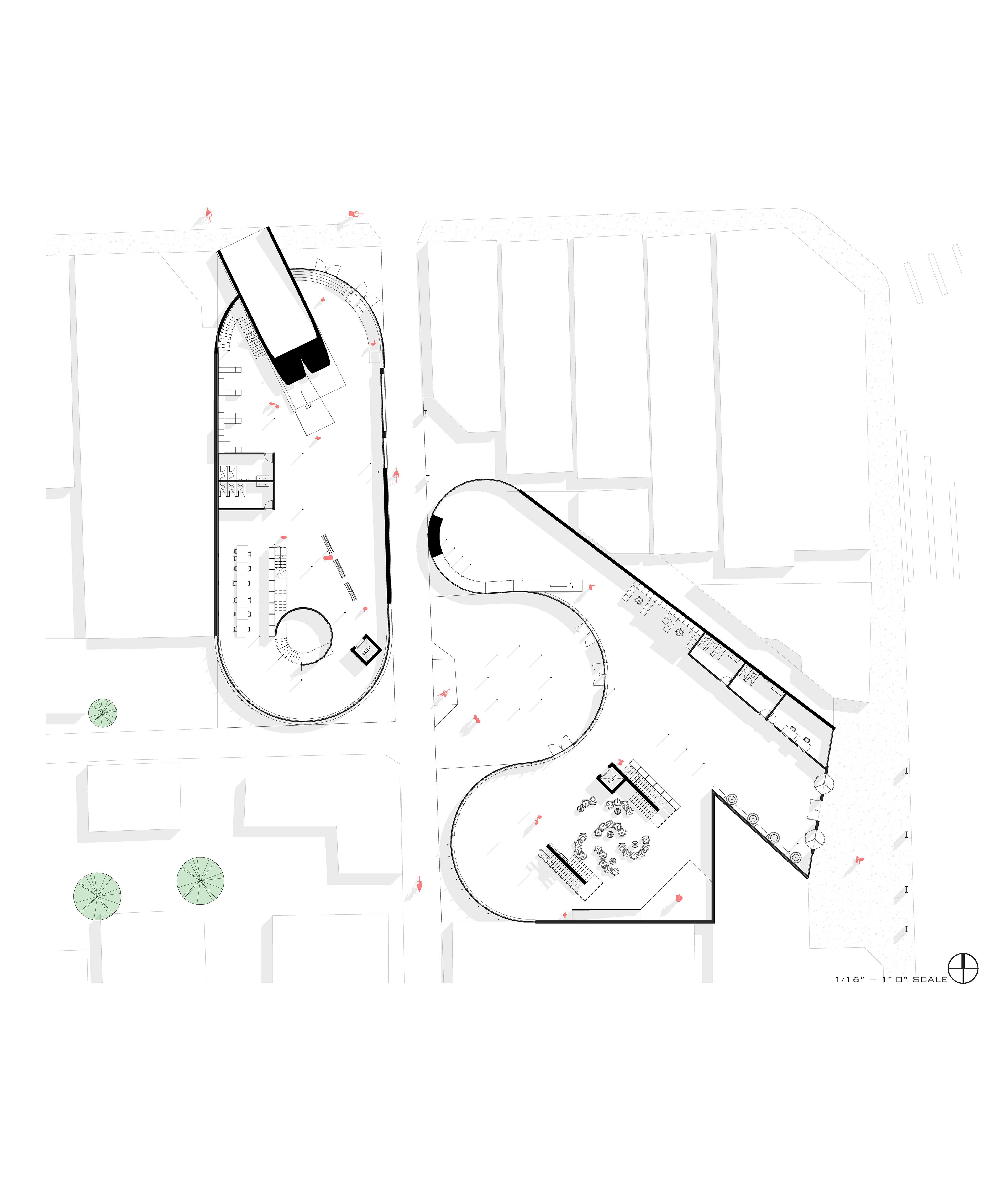
Ground Floor
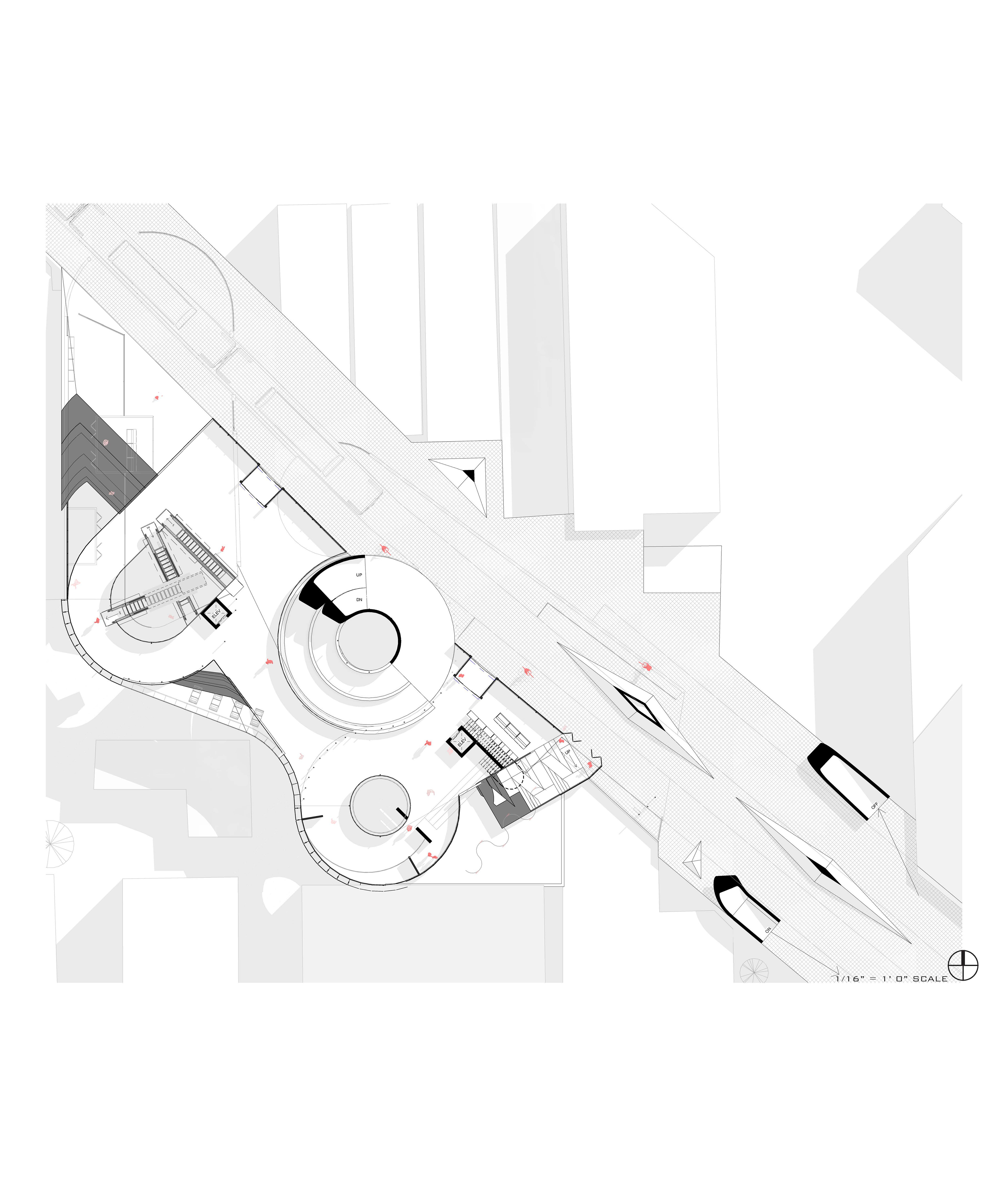
CTA Train Floor
Bike Path Floor
Floor 4
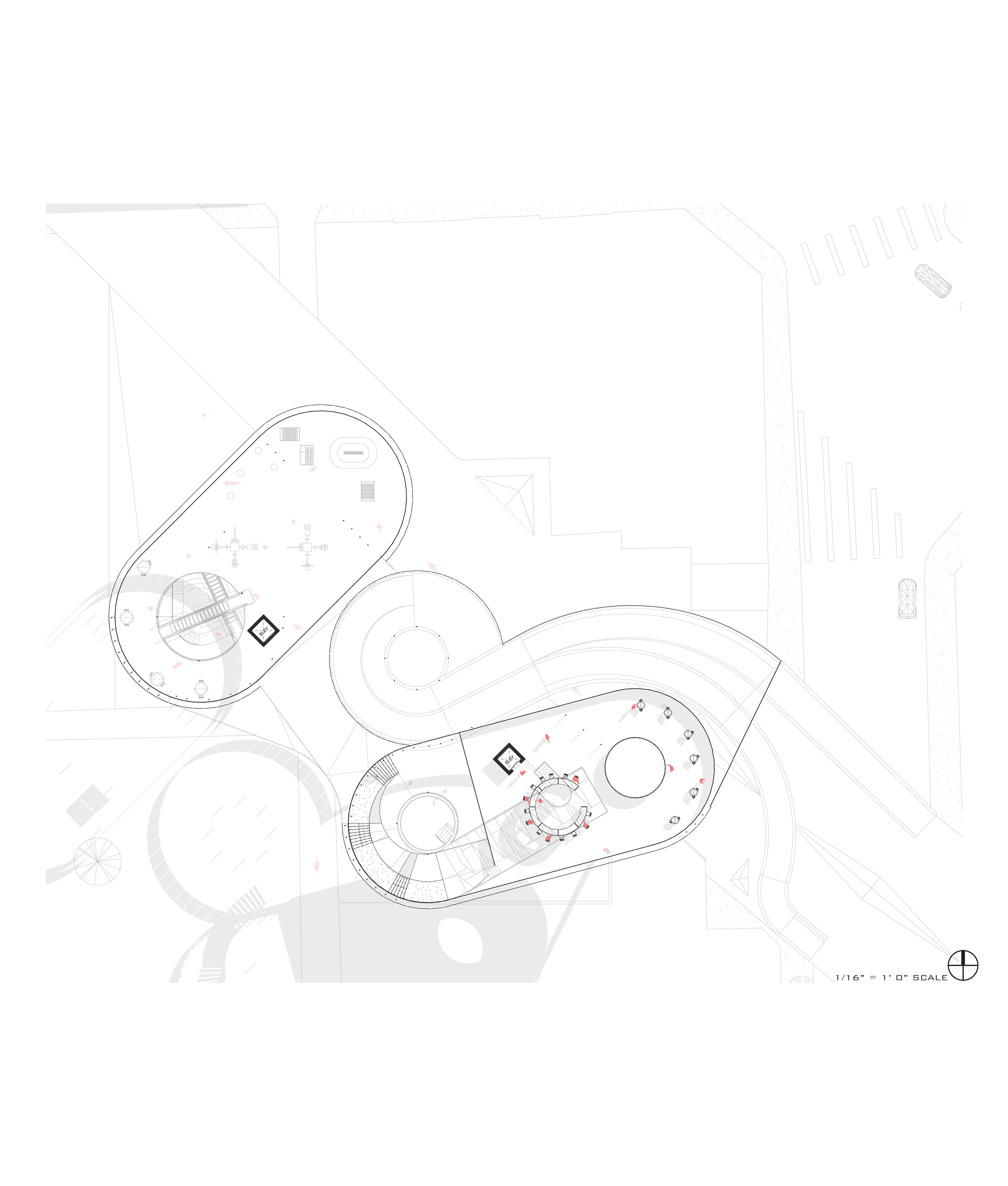
Floor 5
East Elevation
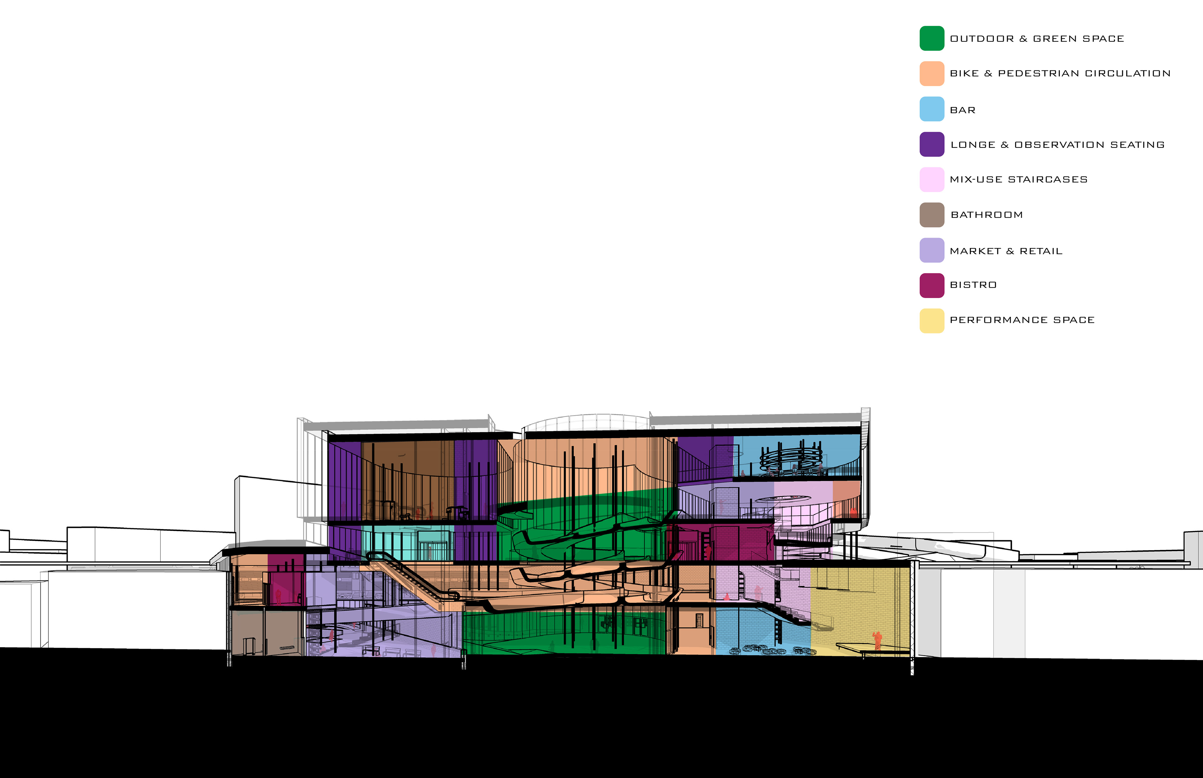
East & North Sections
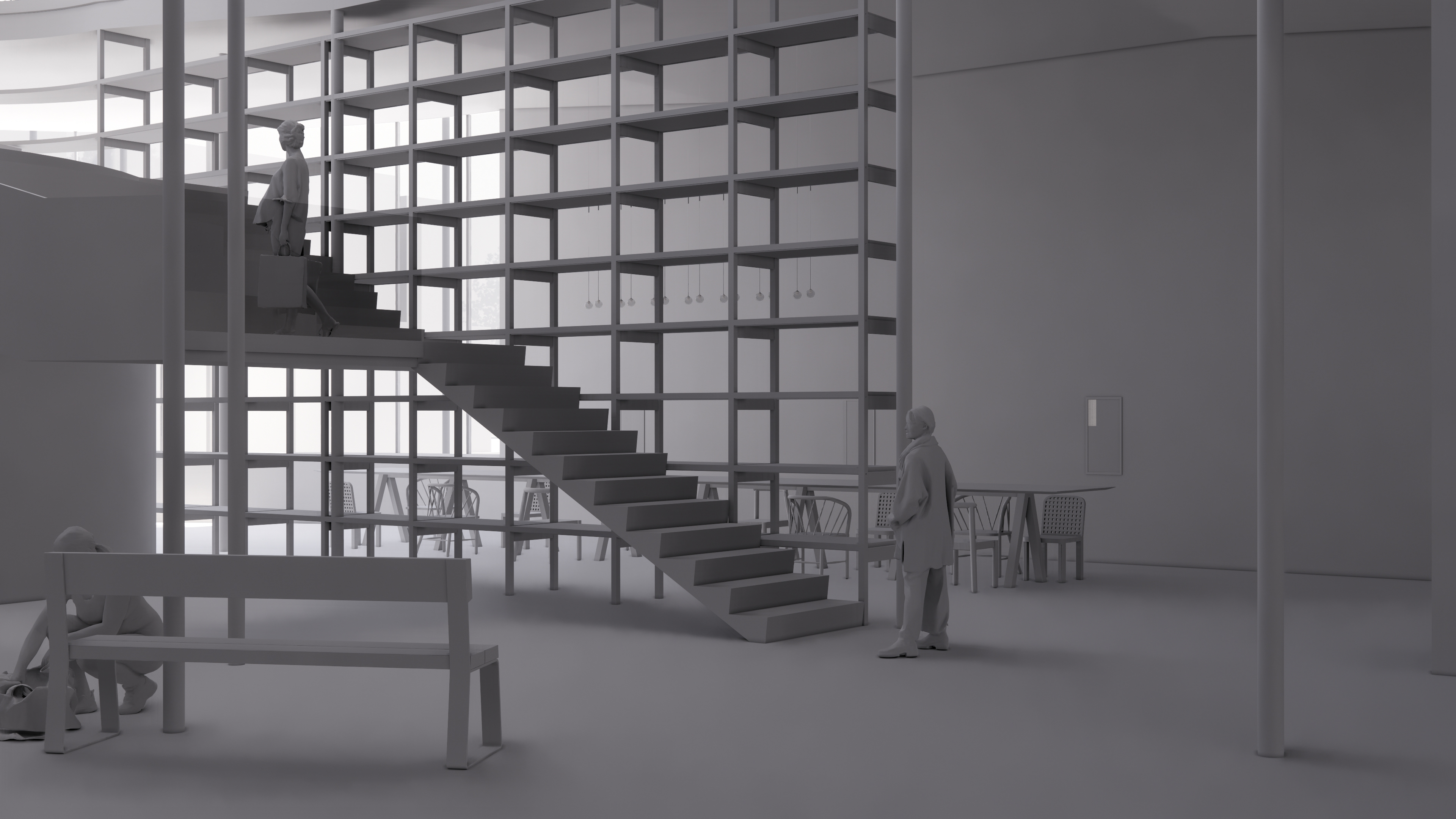
GROUND LVL
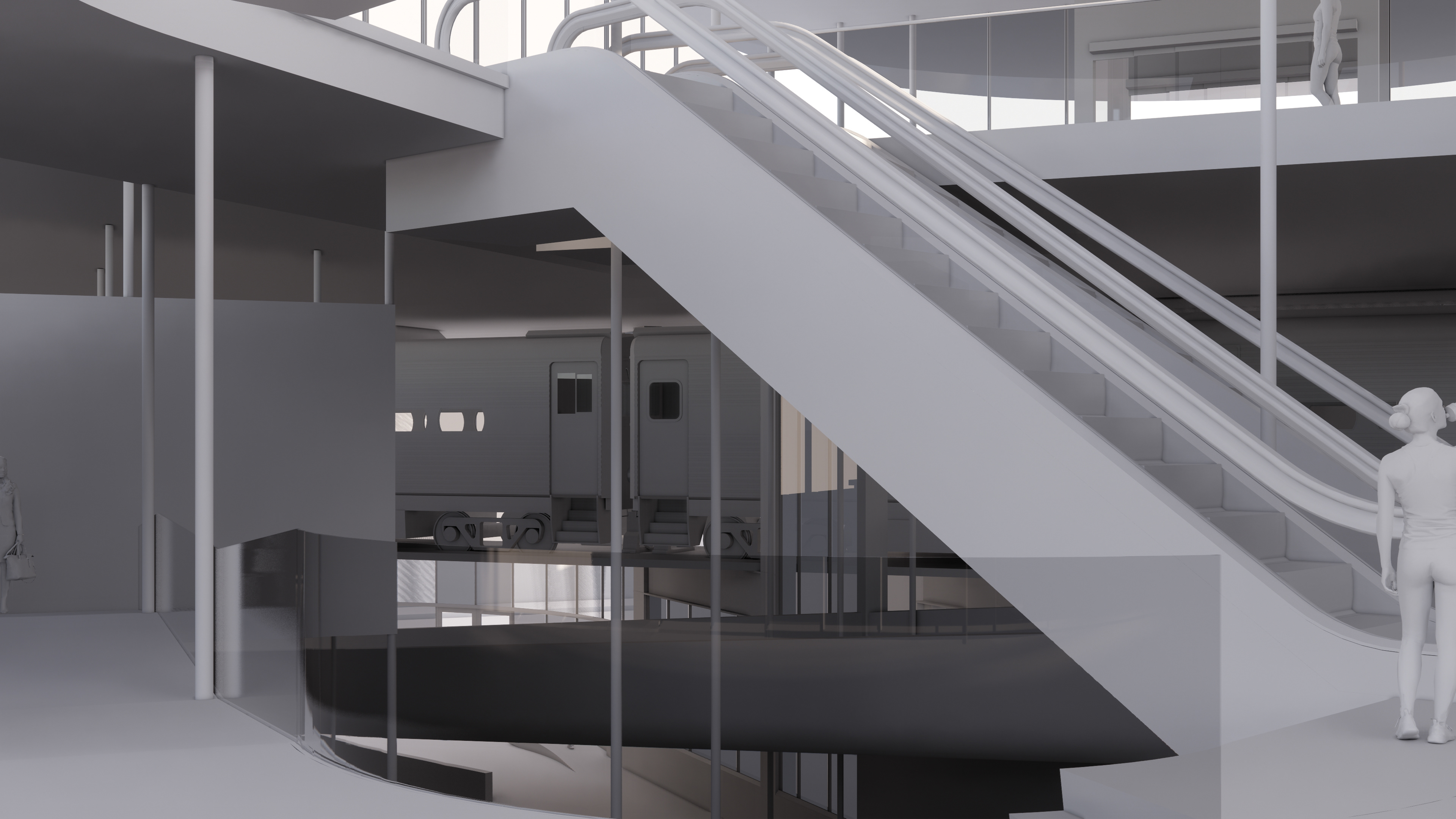
TRAIN LVL
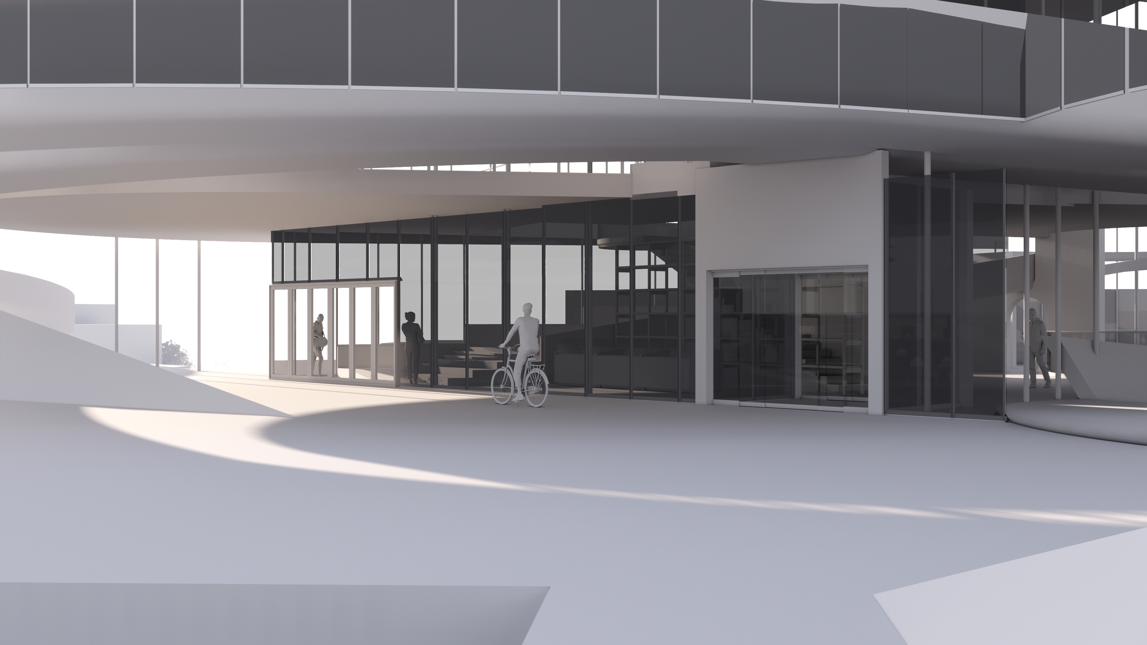
BIKE HIGHWAY LVL
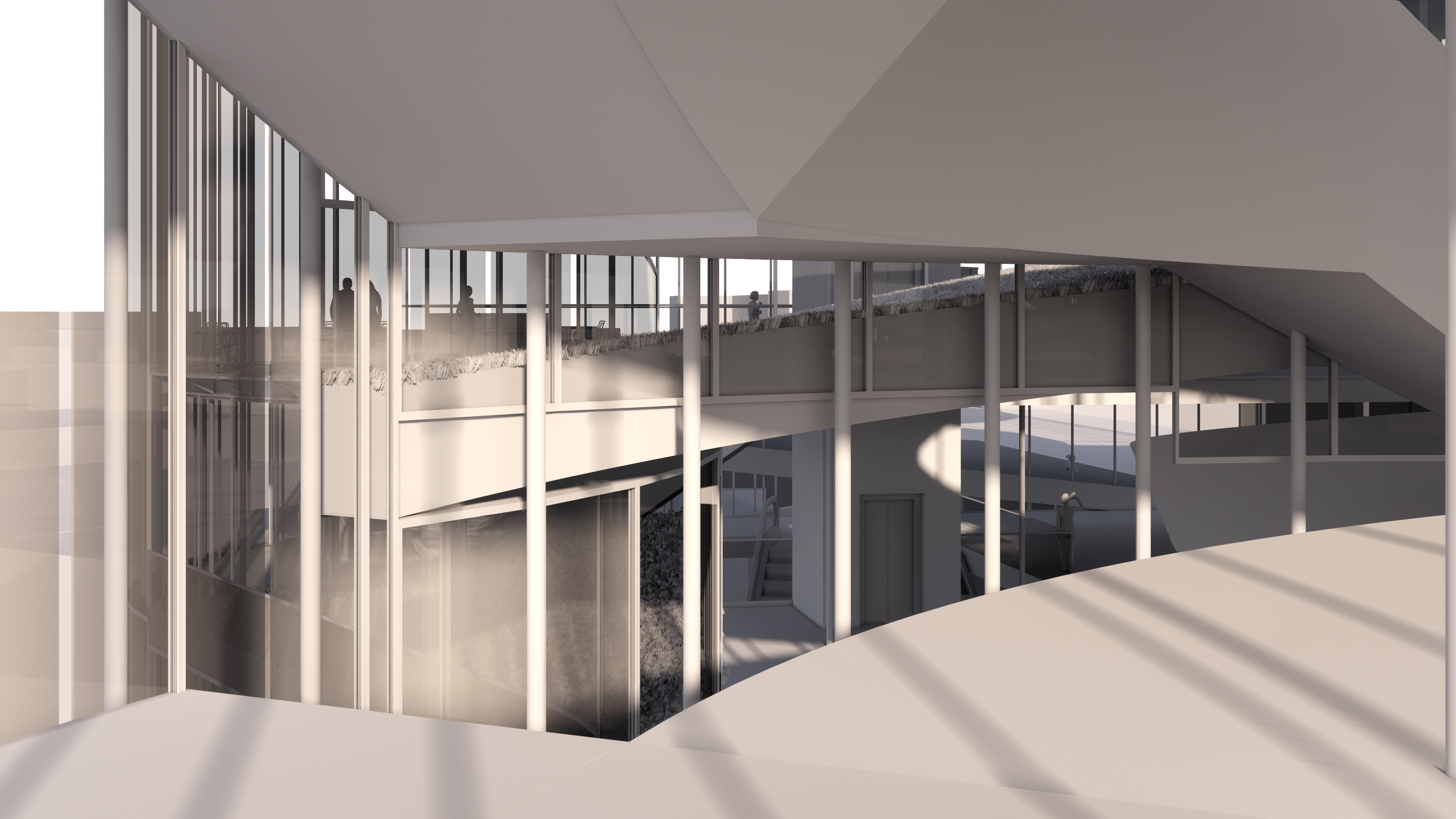
LVL 4
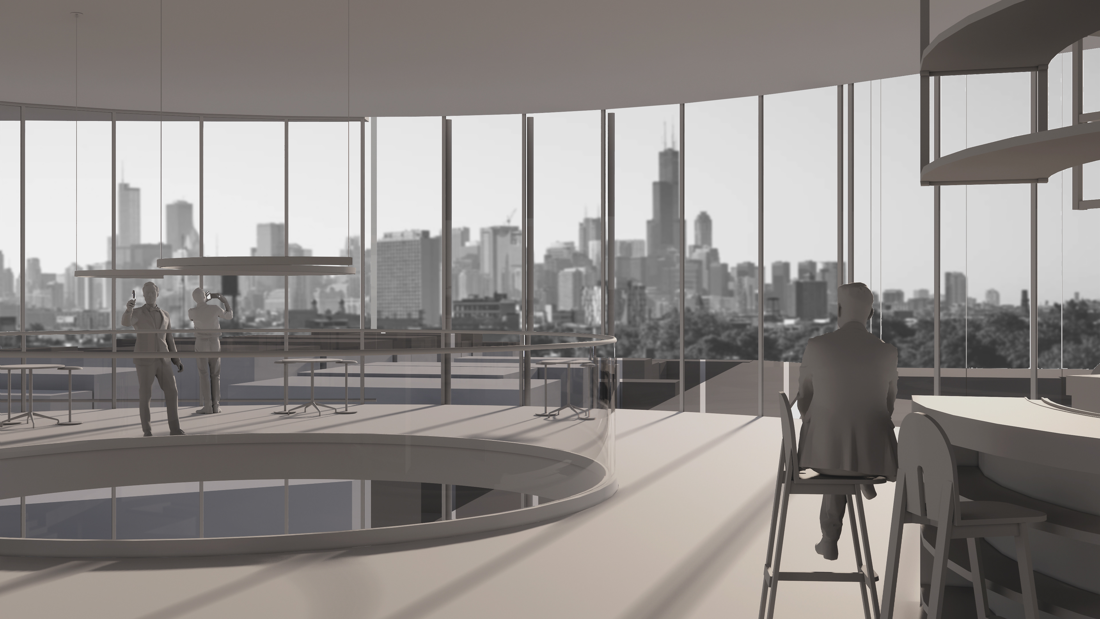
LVL 5
